How to Find Mineral Claims Owned by a Company in British Columbia
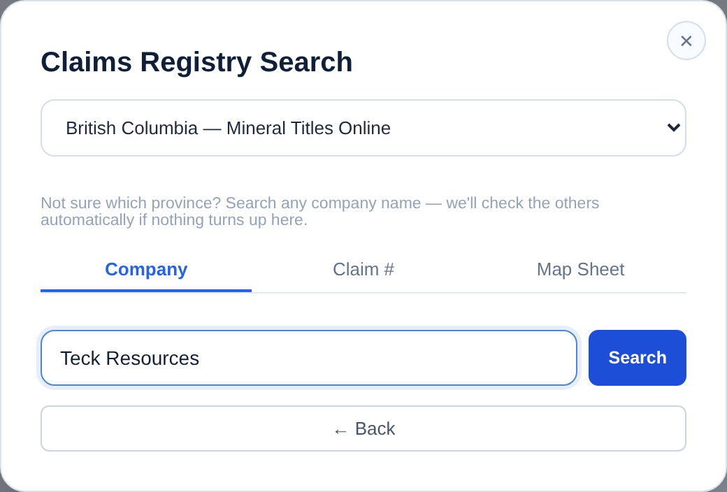
To find mineral claims held by a company in British Columbia, search the province's published tenure data by registered owner. In Exploration Maps, open Add Claims → Search Claims Registry, select British Columbia, choose the registered-owner mode and enter the company name. Matches are returned as candidates grouped by confidence — company names reach the registry in clipped legal form and under previous names — so you confirm which titles are actually theirs before mapping them. Authoritative ownership must be confirmed in Mineral Titles Online.
Why you would want this
Owner search answers a question that is genuinely hard to answer one tenure at a time.
| Job | What you are looking for |
|---|---|
| Competitor research | How much ground a peer holds, where it is, and how it has moved |
| Project generation | Who holds the ground around a showing or a geophysical anomaly |
| Acquisition and due diligence | Whether a vendor's claimed land position matches the published record |
| Neighbouring claims | Who you actually share a boundary with before you approach anyone |
| Land-position review | Your own holdings, assembled in one view rather than tenure by tenure |
The search, step by step
Open Exploration Maps and choose Add Claims → Search Claims Registry. Select British Columbia, choose the registered-owner mode, and type the company name. Start with the distinctive part of the name rather than the full legal form — 'Goliath' will find more than 'Goliath Resources Limited' if the registry recorded it differently.
Worked example: Goliath in British Columbia
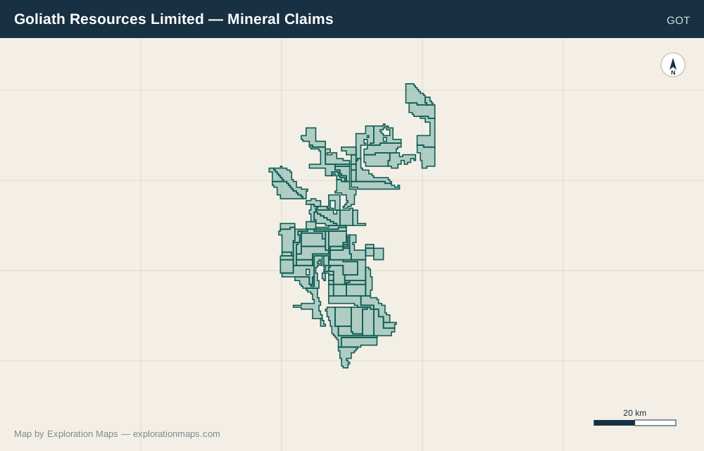
On September 15, 2026, a search for Goliath in the BC registered-owner field returned 94 features under GOLIATH RESOURCES LTD, with no truncation reported. This is a dated search observation, not a permanent claim count or verification of the company’s complete land position.
View the Goliath company-page snapshot or verify individual tenures in Mineral Titles Online. Search results can change as the published record changes.
| Step | What to inspect |
|---|---|
| Search Goliath in British Columbia | Read the registered-owner spelling rather than relying on the ticker GOT. |
| Review GOLIATH RESOURCES LTD | Compare title identifiers and geography with your source records and Mineral Titles Online. |
| Choose the relevant titles | Use Select All only if every returned title belongs in the map you are making. |
| Add the selected claims | Review the map extent and the layer source/date; set its legend name and export layout. |
Read the candidates properly
Results come back grouped: exact name match, possible match, and weak match. That grouping is deliberate and it is worth respecting.
Company names reach a title registry in clipped legal form, with inconsistent punctuation, under previous corporate names, through numbered subsidiaries, and in the name of one joint-venture partner rather than the operator everyone talks about. A name match ranks a candidate; it does not establish who holds the ground. Nothing enters your map until you tick it.
Select the whole position at once
Each candidate group has a select-all control. Read the selected claim count and reported hectares before adding it. These describe the selected published records, which may not represent the company’s entire land position.
Hectares in particular tends to surprise people: forty small cell claims and four large leases can describe very different companies.
Map it
Add the selected tenures and the map fits to their extent. Assign the Claims role for standard styling, and give the layer a name that will read in the legend — 'Peer Ground' or 'Optioned Claims' rather than the default. If you are comparing two companies, add each as its own layer with different stroke colours; they become separate legend entries automatically.
Watch ground you don't own
A monitored group of claims is a watch list, not an ownership record. You can add a competitor's titles to it and get told when the published record for them changes — a good-to-date that moved, an owner added or removed, a title that stopped appearing in the dataset.
That is often more useful than the initial search. A neighbour's claim reaching its good-to-date, or changing hands, is exactly the kind of event you would rather learn about early. Nothing about monitoring is visible to the title holder, and nothing about it changes the title.
Where this workflow stops
For a transaction, use it to build the picture and then verify every tenure in MTO.
- It reflects published spatial data returned by the search source, which may lag the authoritative title record.
- It matches a registered-owner field, so beneficial ownership and option agreements are invisible to it
- It cannot tell you about applications in progress beyond what the province publishes
- It is not a substitute for a title search when money is changing hands
Next steps and sources
Use the company-name search tool to repeat the lookup. Read coverage and methodology before comparing results across jurisdictions.
How this guide was checked
Prepared by Exploration Maps. The Goliath search was checked against the BC public-data search endpoint on September 15, 2026. The map image comes from the separately dated company-page snapshot. We have not certified legal or beneficial ownership.