Upload a zipped Shapefile, GeoJSON, KML/KMZ or a coordinate CSV and turn it into an exploration map. Check the location, style your layers, add labels and export a figure. Shapefiles and KML do not need to be converted to GeoJSON first.
Start free. Free PNG exports keep a small Exploration Maps credit. Pro removes that credit for US$29/month or US$290/year.
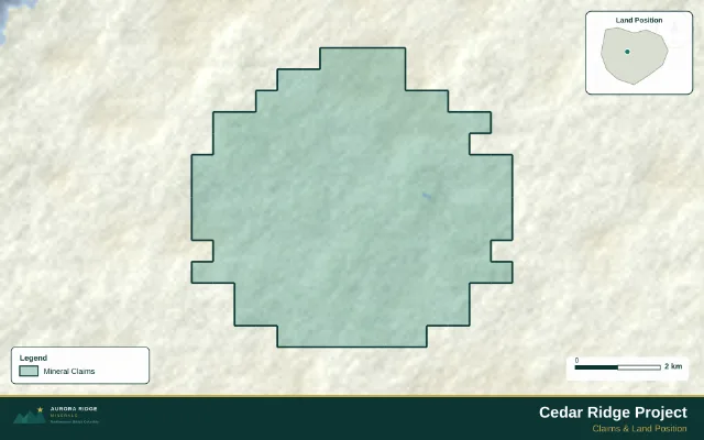
See the finished boundary map
Download the Cedar Ridge GeoJSON boundary · Read the sample notes
Supported uploads
| File | What to supply | Coordinate handling |
|---|---|---|
| GeoJSON / JSON | A FeatureCollection with geometry and properties | Use WGS84 longitude, latitude (EPSG:4326). |
| Zipped Shapefile | Matching .shp, .shx, .dbf and .prj files in one .zip | The .prj supplies the source projection for conversion. |
| KML / KMZ | Upload the .kml or compressed .kmz directly | KML uses geographic longitude/latitude. |
| CSV | A header row and a coordinate pair for each point | Use WGS84 decimal degrees; convert projected eastings/northings first. |
From file to finished map
Follow the file import guide for the downloadable example and projection troubleshooting.
- Keep matching Shapefile components together in one ZIP, including the .prj.
- Upload the file, review the preview and click Add to map. Verify its location before styling.
- Assign Claims, Drillholes or another appropriate layer role.
- Add a legend, title, source/date and labels; inspect the exported figure.
Why a projected Shapefile may fail
A .shp with metre-based coordinates needs its matching .prj so the importer can identify and convert the source projection. Include that file in the archive. If the source projection is unknown, ask the data supplier; changing a filename or guessing a UTM zone will not fix the coordinates.
Keep your source data and map separate
The imported file supplies geometry and attributes. Colours, labels, layout and callouts belong to your map project. Save the project if you want to return to the same presentation; retain the original source files as well.
See data coverage and methodology for the difference between uploaded files, registry searches and example maps.
Make your first map
Find or upload your claims, choose an investor layout, and download your map.
Upload my data →