How to Create an Exploration Map for an Investor Presentation
For an investor presentation map, use a branded theme (such as Investor — Navy & White), the Landscape 16:9 ratio, a satellite or light basemap, a concise legend, and callouts for your key results — then export PNG at 2× resolution. Most decks use three maps: a regional location map, a property/claims overview, and a results map.
Why map quality matters in mining investor decks
Professional investors and analysts evaluate dozens of exploration companies. A clean, consistent, on-brand map signals operational competence; a blurry or cluttered one undermines confidence in the technical team. Your map should communicate the property's merits at a glance — even on a projector from the back of the room.
The three maps most decks need
Rather than reusing one map everywhere, build a small set that each does one job.
- Regional location map — where the project sits relative to known camps and infrastructure
- Property / claims overview — your tenure footprint with a clean legend
- Results or targets map — drill intercepts or target areas with callouts
Step 1: Brand the map with a theme, colours, and logo
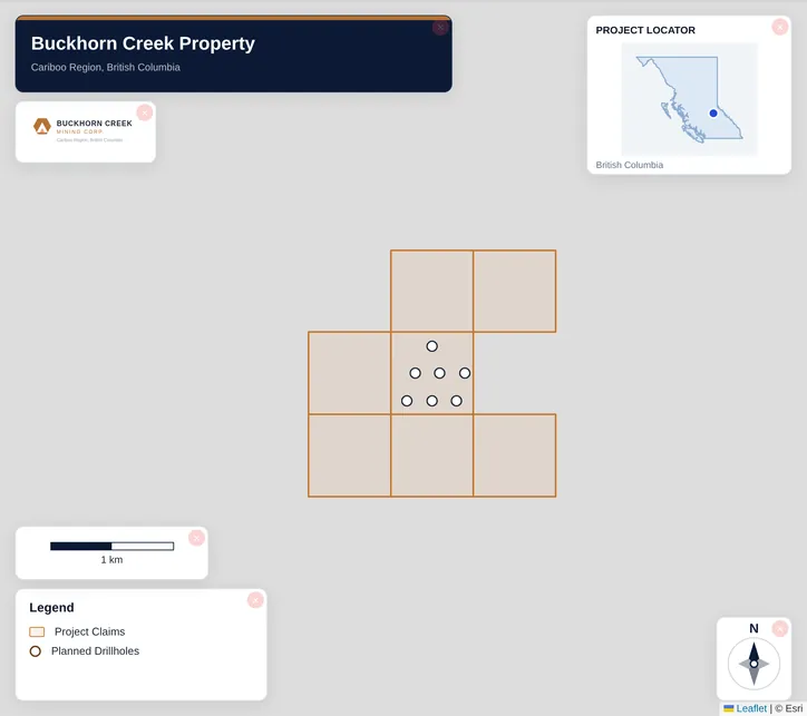
Pick a theme such as Investor — Navy & White, then apply your own brand colours and logo so every map in the deck matches. Saving a brand kit means the next project starts on-brand automatically. Click the title to set the project and company name, and add the date in Design → Text & Metadata.
Step 2: Set the Landscape 16:9 ratio
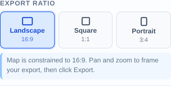
Activate Landscape 16:9 in the Export section before framing — it matches the standard PowerPoint and Keynote slide, so the map fills the slide with no letterboxing. The frame shows exactly what will export, so pan and zoom to taste.
Step 3: Keep the legend scannable
Decks are read at speed. Disable legend entries the audience doesn't need, use the Compact legend mode, and if you have more than ~5 entries, split into two slides (overview + detail) rather than crowding one map.
Step 4: Add callouts for your headline results
Use Badge Label callouts for top drill intercepts so they pop, and plain labels for target names. Keep text short — '32m @ 6.1 g/t Au' beats a full sentence. These are the numbers the room remembers.
Step 5: Export sharp assets for the deck
Export PNG at 2× pixel ratio (a ~3840×2160 image — sharp on screen and in print handouts) and insert it as an image so it travels with the deck. For investor one-pagers and printed overviews, export a PDF instead. Reuse the same maps in news releases for a consistent look.
Example: a financing-roadshow deck
Heading into a financing, you need three slides. Make a regional location map on Satellite showing proximity to a producing mine, a claims overview on Light with a compact legend, and a results map badge-labelling your three best holes. Brand all three with one kit, export each at 16:9 2×, and you have a consistent map set for the deck, the one-pager, and the website — built in well under an hour.
A note on commercial use and exports
Verify the underlying data
Related guides
Build the underlying maps with the mining claims map guide and the drill results map guide, prep a release figure with the drill results map guide, and export with the professional map guide.