Exploration Maps vs QGIS for Exploration Mapping
QGIS is a powerful free and open-source GIS platform ideal for spatial analysis and data processing. Exploration Maps is faster for producing polished investor-ready maps with no setup or GIS expertise required. Most exploration teams use both: QGIS for data preparation and analysis, Exploration Maps for final presentation-quality outputs.
QGIS: Powerful and Free, But Complex
QGIS is an excellent free and open-source GIS platform that can do nearly everything ArcGIS can do. It handles coordinate system transformations, geospatial analysis, grid processing, and complex cartography. However, producing a polished map in QGIS — with a styled title block, legend, north arrow, scale bar, and company branding — requires significant configuration in the Print Layout module, a skill that takes time to develop.
Exploration Maps: Fast Output, No Configuration
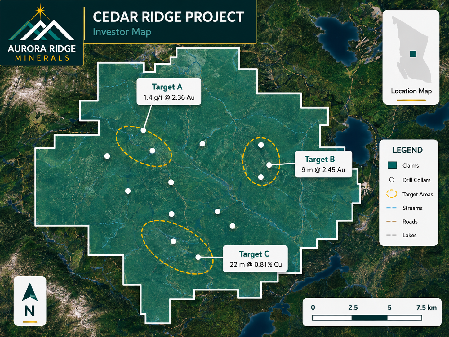
Exploration Maps produces investor-ready maps in 15–30 minutes with zero configuration. Design themes handle all the styling automatically — title blocks, legends, panel colors, and fonts are all pre-configured. For a geologist who needs to produce a clean map for an investor deck on Friday afternoon, this is a significant practical advantage.
The Best Workflow: Use Both
Most experienced exploration teams use a hybrid workflow: QGIS for data preparation, coordinate system management, and any spatial analysis (clipping, buffering, processing geophysical grids), then export the results as GeoJSON for import into Exploration Maps for final presentation-quality output. This leverages the strengths of both tools.
Cost and Accessibility
QGIS is free — a major advantage for bootstrapped junior companies. Exploration Maps is low-cost and browser-based, requiring no installation. For teams without an in-house GIS specialist, the time cost of learning QGIS for cartographic output often exceeds the value of the free license. Exploration Maps reduces that time cost significantly.
Side-by-Side Comparison
| Feature | Exploration Maps | QGIS |
|---|---|---|
| Cost | Low | Free |
| Setup required | None | Installation + plugins |
| Learning curve | Minutes | Hours to days |
| Time to polished map | 15–30 min | 1–3 hours |
| Spatial analysis | Basic | Full-featured |
| Investor-ready themes | Built-in | Manual layout config |
| Browser-based | Yes | No (desktop) |
| Best for | Presentation maps | Data analysis + maps |