Claims and land
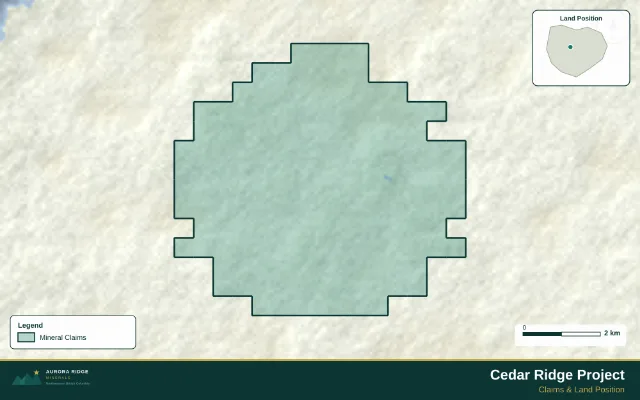
Boundaries, ownership, neighbouring projects and supported expiry information.
Exploration Maps for Teams
Share your project data with us. We work out the figures your team needs, produce them in your style, and update them as assays, claims and models change, so the latest map is ready before anyone asks for it.
Not ready for a retainer? Send us your latest news-release map for a free review.
Map images are illustrative examples made with Exploration Maps.
Everything about your project in one place
From the first claim map to the latest drill section, everything is built from the same project data, so every figure agrees with the others.
Boundaries, ownership, neighbouring projects and supported expiry information.
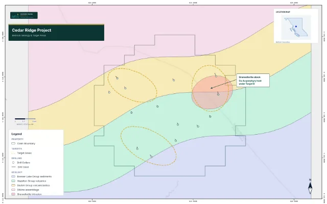
Location, infrastructure, access, geology and targets.
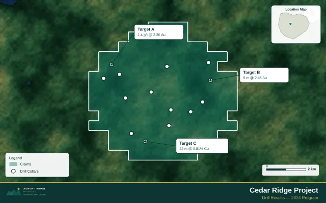
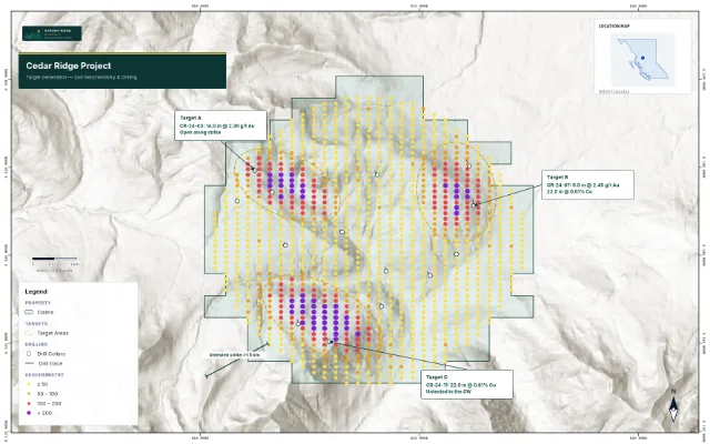
Sampling, geochemistry, drill plans and assay callouts.
Drilling sections, 3D figures and block sections with geology on the faces, from logs and models you supply. Custom modelling is scoped separately.
Maps prepared for presentations, news releases, fact sheets and websites.
How it works
Claims, drill database, assays, geology, models, and your current deck. Whatever you have, in whatever format.
We review the project and propose the figures that tell its story, from regional location to the latest section.
Your logo, colours, fonts and legend conventions, applied the same way on every figure.
Each figure is checked against the source data and sent to you for approval before it is used anywhere.
New assays, new claims or a new model: we update the affected figures and send them back for sign-off.
You share a folder (Google Drive, SharePoint, Dropbox or a data room) and tell us when something changes. We do the rest.
Connected data-room monitoring that notices new files for you, and a client portal with every current figure in one place.
Three service levels
Every plan is a monthly retainer. Your base maps and house style are built once and locked, so each new result is a quick, faithful update rather than a new project.
Maps and ongoing updates.
Quoted after a scoping call
Maps, deck and fact-sheet maintenance.
Quoted after a scoping call
Maps, presentation and website maintenance.
Quoted after a scoping call
Software and a service
The same tools our team uses are open to yours. Start a figure yourself and hand it to us whenever you want it finished or kept up to date.
Company workspace
Your team, and ours when we work for you, share one workspace. Each property keeps its own maps, 3D figures and data, so the next figure starts from the files the last one used.
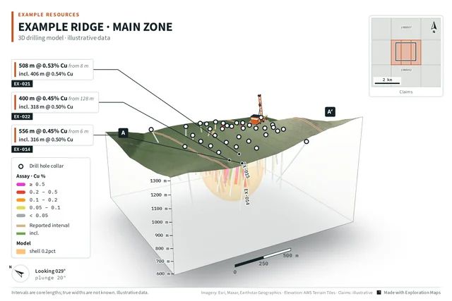
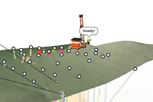
Examples
Illustrative examples made with Exploration Maps. Client work is shared only with permission.
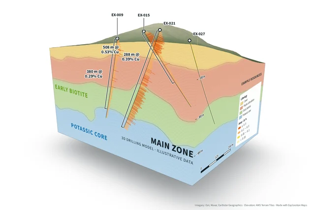
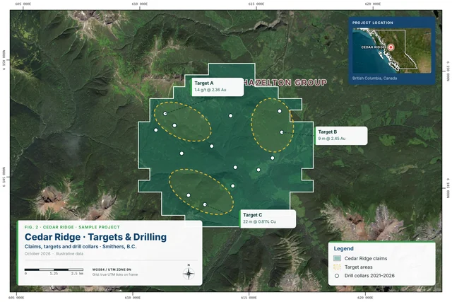
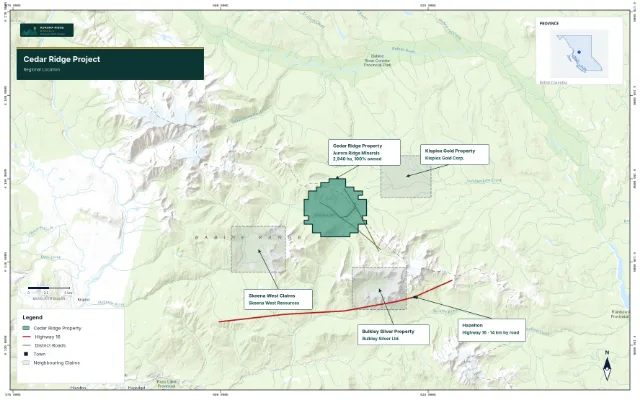
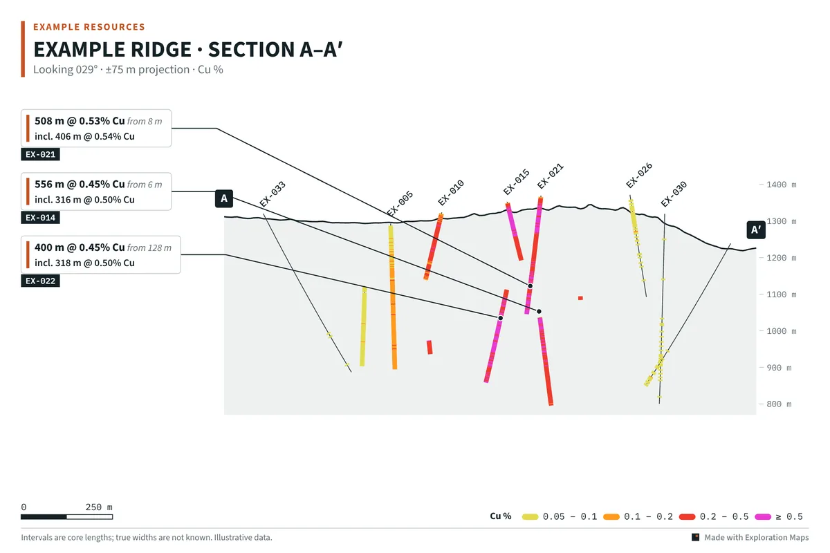
Every figure is checked against your source data: collar positions, intervals, grades and claim status. Anything that doesn't reconcile comes back to you as a question, not a guess. Your Qualified Person keeps technical sign-off.
Your data stays private to your account and is used only to make your figures. We sign an NDA on request. Unreleased results are never shown anywhere else.
Nothing is published or sent on your behalf. Every new or updated figure is sent to you for approval first.
Exploration Maps for Teams is a new service. The connected monitoring and client portal described above are in development, and the examples on this page are illustrative.
For geology teams and consultancies
Consulting geologists run the programs; their clients still need current figures for every release and every meeting. We work alongside your team as its mapping desk, under your name or ours.
Questions
Whatever you have: collar, survey and assay tables from your drill database, claim lists, geology and geophysics files, models as OBJ or DXF, and your current deck. Spreadsheets, shapefiles and PDFs are all fine. We tell you if anything is missing.
Yes. Your geologists keep doing the geology and sign off the technical content. We take on the drafting, styling and updating, so their time goes to the program, not to the maps.
Turnaround is agreed in your plan and set around your release schedule. Because your base maps and style are built once, a new set of results is an update, not a new project.
We check every figure against your source data and send it to you for approval. Your Qualified Person keeps technical sign-off, and nothing is published without your approval.
Yes. Every plan includes Exploration Maps and the 3D maker for your team, so you can make quick figures in-house and send the important ones to us.
Tell us and we'll pause or scale the plan back. Your base maps and style stay ready for when the program restarts.
Discuss your project
We'll reply by email to set up a short call, look at what you have, and suggest a map set and plan.
Prefer email? support@explorationmaps.com