BC Mineral Titles Online (MTO): How to Find, Map and Monitor Mineral Claims
Mineral Titles Online (MTO) is the Province of British Columbia's official system for acquiring and administering mineral, placer and coal titles. It is where claims are staked, maintained, transferred and paid for, and it is the authoritative record of who holds a title and when it expires. Exploration Maps does not replace MTO — it reads the province's public tenure dataset so you can search claims by tenure number or registered owner, map them, and track good-to-dates, then sends you back to MTO for anything that governs a transaction or a deadline.
What Mineral Titles Online actually is
MTO is the Province of British Columbia's online system for mineral, placer and coal titles, run by the Mineral Titles Branch. It is a transactional system, not just a viewer: free miner certificate holders use it to acquire cell claims, register assessment work, pay cash in lieu, apply for leases, and transfer title.
That transactional role is why MTO is the authority. A tenure's current status, its good-to-date, its registered owner and its boundaries are what MTO says they are. Any other source — including this one — is a copy of published data, and a copy can be stale, partial, or wrong. Start at Mineral Titles Online; background, rules and contacts are on the Mineral Titles Branch site.
What people actually use MTO for
Every one of those is a transaction or an authoritative lookup, and every one of them happens in MTO. Nothing in this guide changes that.
- Acquiring cell claims (which requires a free miner certificate and an MTO account)
- Registering statements of work, or paying cash in lieu, to push a good-to-date forward
- Transferring title, and recording ownership changes
- Applying for mineral or placer leases
- Checking the authoritative status and expiry of a specific tenure number
Where MTO is hard work, and what to do instead
MTO is built for administering titles, not for exploring the tenure landscape. Three jobs are noticeably awkward in it:
Those three gaps are what Exploration Maps is for. It reads the province's public mineral tenure dataset — the same DataBC layer that underlies most third-party BC claim maps — and puts a search, a map and a reminder system on top of it.
- Seeing a whole company's land position at once, rather than one tenure at a time
- Getting claim boundaries out as a map you can put in a deck, a report or a news release
- Remembering, months later, that a good-to-date is approaching
Searching BC claims outside MTO
In Exploration Maps, open Add Claims → Search Claims Registry and select British Columbia. Two search modes are available for BC:
Owner search returns candidates grouped by match confidence rather than a finished answer, because company names reach the registry in clipped legal form, under previous names, and through subsidiaries and joint-venture partners. You confirm what enters your map. The company claim-search guide covers that workflow in detail.
| Search by | Use it when | Example |
|---|---|---|
| Registered owner | You want a company's whole BC land position | Teck Resources |
| Tenure number | You have a specific claim in hand | 1012345 |
If your search returns no claims
An empty result does not establish that a company holds no ground. The public record may use a subsidiary or a different legal name.
- Try one distinctive word from the registered owner name.
- Search a tenure number from your source document instead.
- Check the jurisdiction and current record in the official registry. Map-sheet lookup is not available in Exploration Maps; browse the map and nearby claims for an area instead.
Mapping the results
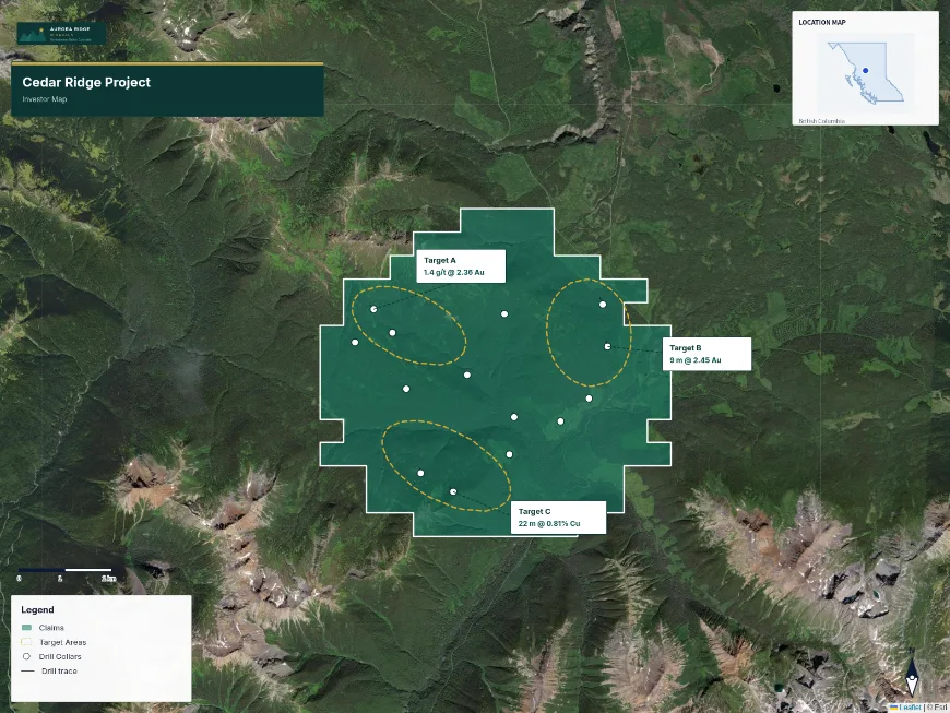
Select the tenures you want and add them to the map. They come in as a claims layer with the boundaries from the public dataset, and the map fits to their extent. Assign the Claims role for the blue stroke and semi-transparent fill convention that most NI 43-101 figures use, add a title block and your logo, and export.
If you already have a tenure file from MTO or a GIS, import it instead — GeoJSON, zipped Shapefile and KML all work. See how to map BC mineral claims from the public registry for the full walkthrough.
Tracking good-to-dates afterwards
The good-to-date is the date by which a claim must be maintained — assessment work recorded, or cash paid in lieu — to stay in good standing. MTO is where you do that work. Exploration Maps is where you find out it is coming.
Tenure Monitor saves a group of claims, reads their published good-to-dates, and emails reminders at 90, 30 and 1 day beforehand. It also flags changes it detects in the government record — a good-to-date that moved, an owner added or removed, a title that stopped appearing in the dataset. See the BC claim expiry guide.
How current the public data is
Exploration Maps synchronizes the province's published tenure dataset on a schedule and displays the timestamp of the last successful synchronization on every portfolio view and in every reminder email. The province does not document an update frequency for the published dataset, so nothing here is described as live.
When to go back to MTO
The short version: use Exploration Maps to notice things and to communicate them, and use MTO to decide and to act.
- Before staking, or deciding not to re-stake ground
- Before filing assessment work or paying cash in lieu
- Before any transaction — option, purchase, transfer, or JV
- When a reminder or a detected change tells you something moved
- Any time the exact boundary or the exact expiry date matters