Drill Results Map — Yukon
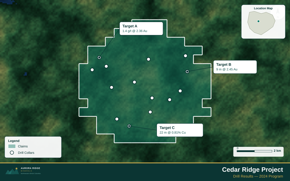
Yukon — one of Canada's most exciting frontier jurisdictions for large-scale gold and copper-gold discovery — is a prime target for junior exploration companies. Here's how to create a professional drill results map using Exploration Maps in 15–30 minutes.
About Mining in Yukon
Yukon is one of Canada's most exciting frontier mining jurisdictions, with multiple large-scale gold, copper-gold, and polymetallic projects at various stages of development.
Key minerals: gold, silver, lead, zinc, copper, tungsten. Notable deposits: Coffee Gold, Casino, Minto, Klondike Placer. Mining districts: Dawson, Mayo, Kluane, White Pass.
The Yukon Energy, Mines and Resources administers mineral rights in Yukon. Claim data is accessible through GeoYukon.
Getting Mining Data for Yukon
| Portal | Formats | Notes |
|---|---|---|
| GeoYukon | Shapefile, KML | GeoYukon publishes quartz and placer claim boundaries in NAD83 geographic coordinates. The territory is vast — verify the claim sheet area before assuming one UTM zone, and convert exports to WGS84 before importing. |
How to Create a Drill Results Map for Yukon
For a full step-by-step guide to drill results maps, see How to Make a Drill Results Map.
- Import your drill collar CSV (columns: hole ID, latitude, longitude, depth, assay)
- Assign the Drillholes layer role
- Import the property claims boundary as GeoJSON
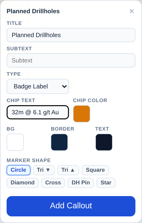
- Add callout labels to key holes showing hole ID and best intercept
- Use Badge Label type to highlight the highest-grade holes
- Configure the title with program name and date
- Set the Landscape 16:9 ratio for news release figures
- Export as PNG at 2× for email and PDF for the news release attachment
Tip for Yukon: Yukon frontier properties often lack nearby infrastructure — add a distance ring or annotation showing the distance to the nearest highway or Whitehorse to immediately communicate the fly-in or road-access context that investors need to assess project logistics.
Recommended Settings for Yukon
- Basemap: Light or Satellite
- Design theme: Investor — Navy & White
- Export format: PNG at 2× for investor presentations, PDF (Letter or A4) for NI 43-101 reports
- Coordinate system: Ensure source data is in WGS84 (EPSG:4326)
Common Use Cases in Yukon
- Exploration news releases
- NI 43-101 technical reports
- Investor day presentations
- Analyst briefings