To map Manitoba mining claims, open Exploration Maps, click 'Add Claims → Search Claims Registry', choose Manitoba, and search by claim or tenure number (e.g. CB12345). Manitoba's public claim data doesn't include holder names, so number search is the reliable route — get the numbers from the iMaQs registry, then map them in one click.
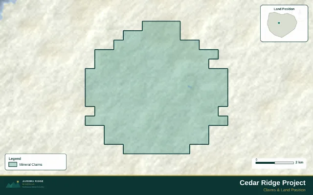
A finished map exported from Exploration Maps — the kind of output this guide walks you to.
Turn public claim data into a clean map.No GIS experience needed — import, style, and export in minutes.
Manitoba mining claims are administered through iMaQs (the Integrated Mining and Quarrying System). The province's headline belts are the Flin Flon–Snow Lake VMS camp and the Thompson Nickel Belt, with gold camps at Lynn Lake and Rice Lake. Claim boundaries are published as public GIS data — with one quirk that changes how you search.
Why you search by number in Manitoba
Manitoba's public claim layer publishes geometry and claim numbers but no holder names. That means company-name search isn't possible against the public data — searching here works by claim or tenure number.
What works in Manitoba
Works: search by claim/tenure number (e.g. CB12345), map the boundaries, style and export. Doesn't: company-name search — the public layer carries no ownership attribute. Find a company's claim numbers in iMaQs or their disclosures first, then map them here.
Find the numbers, then map them
Look up the claims in Manitoba's iMaQs system (or take numbers from a company's news releases and technical reports)
Enter a claim/tenure number — matching claims return grouped geographically
Add to map: boundaries load as a styled claims layer
Add your own layers (drillholes, targets), title block, and export
Verify before you rely on it
iMaQs is the record
Confirm ownership, status, and expiry in Manitoba's official iMaQs registry before using the map in anything that matters — the public GIS layer can lag, and it carries no ownership data at all.
Map Manitoba claims from their numbers.Boundaries in, styled export out — minutes, not hours.
Why can't I search Manitoba claims by company name?
Manitoba's public claim GIS layer doesn't publish holder names, so there's nothing to match a company search against. Get claim numbers from iMaQs or company disclosures, then search those numbers.
Where do I find a company's Manitoba claim numbers?
Three reliable places: the iMaQs registry itself, the company's technical reports (claims tables are standard), and news releases announcing acquisitions or staking. Claim numbers look like 'CB12345' or similar letter-prefix formats.
What claim types exist in Manitoba?
Mining claims for exploration-stage tenure, mineral leases for advanced projects, and quarry permissions for aggregates. The public layer you'll map covers mining claims; leases appear in iMaQs.
Can I map an entire district like Snow Lake?
Yes, practically: gather the claim numbers of the operators you care about and add each set — grouped results make multi-company district maps straightforward. There's no 'select everything in an area' from the public layer alone.
How do I show ownership on a Manitoba map if the data has no owners?
Add it yourself: after mapping each company's claims as separate layers (one search per company's numbers), rename the layers and colour them by company. The legend then carries the ownership story the raw data can't.