Home›Blog›How-to Guides›Saskatchewan Mineral Claims Search — Map Dispositions from MARS Free · Published
Saskatchewan Mineral Claims Search — Map Dispositions from MARS Free
To search Saskatchewan mineral claims, open Exploration Maps, click 'Add Claims → Search Claims Registry', select Saskatchewan, and search by company name or disposition number. Matching mineral dispositions from the public MARS data are grouped geographically — add them to your map with one click, style, and export.
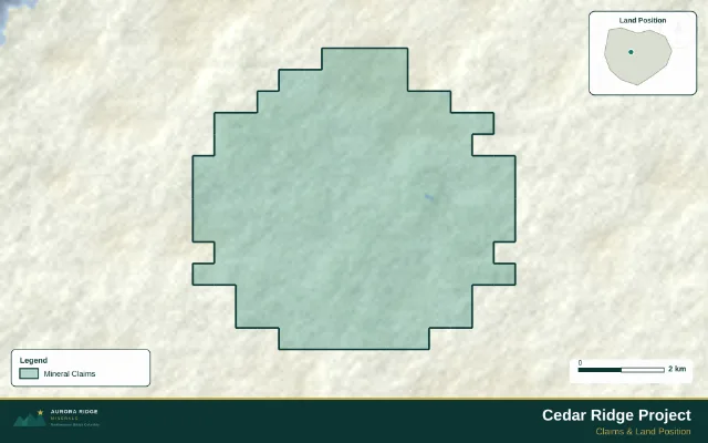
A finished map exported from Exploration Maps — the kind of output this guide walks you to.
Turn public claim data into a clean map.No GIS experience needed — import, style, and export in minutes.
Saskatchewan mineral claims are called mineral dispositions, administered through the MARS (Mineral Administration Registry Saskatchewan) system. Modern dispositions are staked electronically, so boundaries are clean digital polygons — which makes them map beautifully. The Athabasca Basin uranium district is the province's marquee address, alongside gold near La Ronge and base metals toward the Flin Flon belt.
Search by company or disposition number
In Exploration Maps, click 'Add Claims → Search Claims Registry' and choose Saskatchewan. Type a company name — 'Cameco', 'Denison', 'Foran' — or a disposition number. The search queries the public Saskatchewan mineral disposition data and returns matching dispositions grouped by geographic cluster, with total hectares per group.
Where this data comes from
Results are queried from Saskatchewan's public mineral disposition GIS data (the same data behind MARS map products). Public GIS layers can lag the registry — treat the map as a visualization, not a tenure record.
Add to map, style, export
Check the geographic groups you want — the summary shows disposition count and total hectares
Click Add to map: boundaries load as a claims layer with standard styling
Pick a basemap (Terrain suits Athabasca Basin properties), enable Context and Reference Labels
Add your title block and logo, then export a PNG for slides or PDF for reports
Verify before you rely on it
MARS is the record
Ownership, status, and expiry change constantly. Before using a Saskatchewan claims map in a news release, report, or transaction, verify the dispositions in the official MARS registry. Exploration Maps is a mapping tool, not the registry.
Search a Saskatchewan claimholder and map their ground.Company or disposition number in — styled map out.
What's the difference between a claim and a disposition in Saskatchewan?
'Mineral disposition' is Saskatchewan's umbrella term for mineral tenure — claims, leases, and permits are all dispositions. Day to day, 'claim' and 'disposition' get used interchangeably for the exploration-stage tenure you'll be mapping.
Can I search by claim owner name?
Yes — Saskatchewan's public data includes holder names, so searching 'Cameco' or 'NexGen' returns their dispositions grouped by area. Name variations happen (numbered companies, subsidiaries), so try the exact legal name if a search comes up light.
How current is the disposition data?
It's queried from the public Saskatchewan GIS services when you search, which track the registry closely but can lag new staking or lapses by days. For anything binding, check MARS directly.
Can I combine Saskatchewan claims with my own project data?
Yes — after adding registry claims, import your own GeoJSON/Shapefile/CSV layers (targets, drillholes, soil grids) on top, style each independently, and export one combined figure.
Does this cover the Athabasca Basin uranium properties?
Yes — dispositions across the province, including the Basin, are in the same public dataset. Terrain or Satellite basemaps work well there since most properties sit far from mapped roads.