Mining Claims Map — Washington
Washington — an emerging gold jurisdiction in the Okanogan Highlands, with geological continuity into BC's Similkameen belt — is a prime target for junior exploration companies. Here's how to create a professional mining claims map using Exploration Maps in 15–30 minutes.
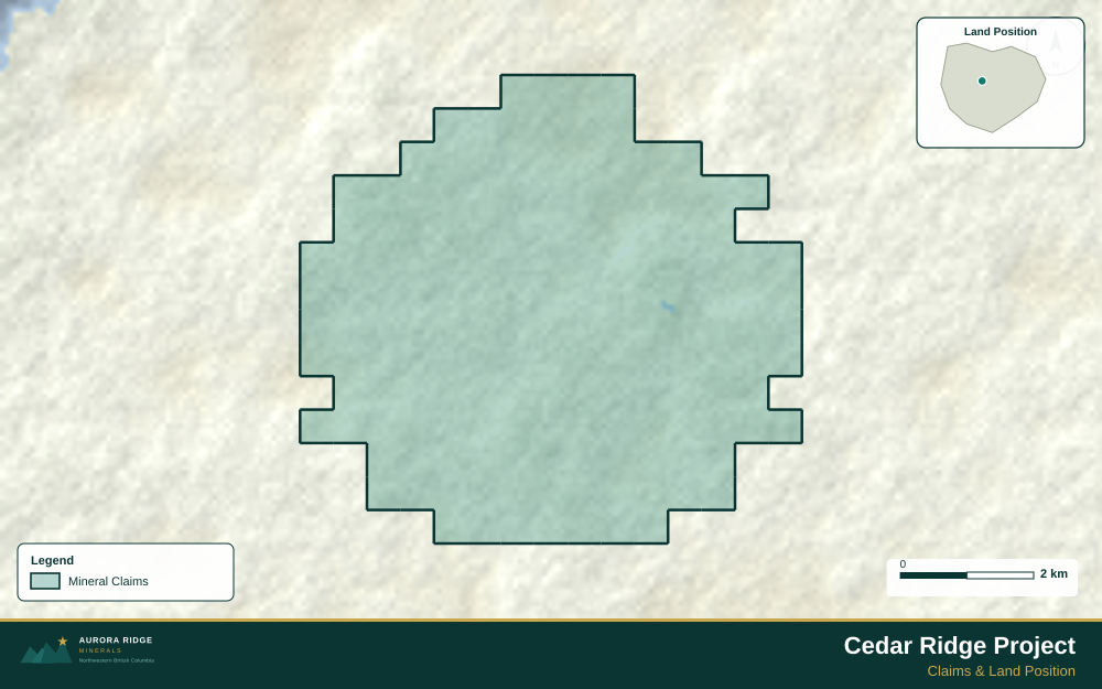
About Mining in Washington
Washington State hosts the Buckhorn gold mine in the Okanogan Highlands and has multiple advanced-stage gold exploration projects in its northeastern Cascade ranges.
Key minerals: gold, silver, copper, zinc, lead, magnesite. Notable deposits: Buckhorn Gold, Republic, Holden Mine. Mining districts: Republic, Okanogan, Stevens County.
The Bureau of Land Management (BLM) administers mineral rights in Washington. Claim data is accessible through BLM MLRS (Mineral & Land Records System).
Getting Mining Data for Washington
| Portal | Formats | Notes |
|---|---|---|
| BLM MLRS (Mineral & Land Records System) | MLRS reports + map viewer (claims by legal description) | Washington State BLM mining claims primarily fall in UTM Zone 10N (EPSG:32610). The Washington DNR manages state-land mineral rights on a separate system. Properties in the Okanogan Highlands (northeast corner) are adjacent to BC's Similkameen district — consider noting cross-border geological context in your title block. |
How to Create a Mining Claims Map for Washington
For a full step-by-step guide to mining claims maps, see How to Make a Mining Claims Map.
- Import your claims data as a GeoJSON or CSV file
- Assign the Claims layer role to apply standard styling automatically
- Add roads and water layers for geographic context
- Select a basemap — Light for technical reports, Satellite for investor decks
- Configure the title block with project name, company, and map date
- Upload your company logo
- Set the export ratio and frame your map
- Export as PNG (presentations) or PDF (reports)
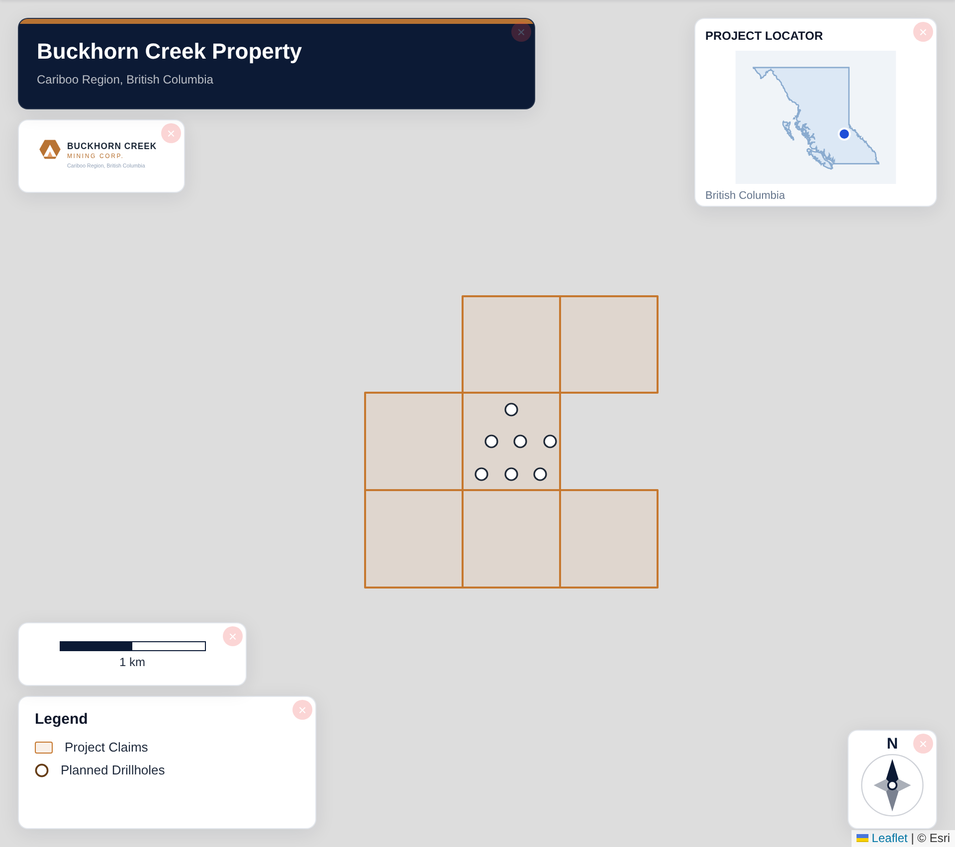
Tip for Washington: Okanogan Highlands properties benefit from showing the cross-border geological context with BC's Similkameen belt — include a simple regional inset or label indicating the proximity to established BC producers to position your project within a recognized mineralized corridor.
Recommended Settings for Washington
- Basemap: Light or Satellite
- Design theme: Investor — Navy & White or Technical — Sharp Borders
- Export format: PNG at 2× for investor presentations, PDF (Letter or A4) for NI 43-101 reports
- Coordinate system: Ensure source data is in WGS84 (EPSG:4326)
Common Use Cases in Washington
- NI 43-101 technical reports
- Investor presentations
- News release figures
- Property acquisition packages
- Regulatory filings