Mining Claims Map — New Mexico
New Mexico — home to major porphyry copper deposits in the Mogollon-Datil volcanic field — is a prime target for junior exploration companies. Here's how to create a professional mining claims map using Exploration Maps in 15–30 minutes.
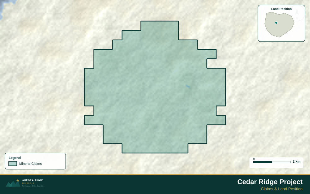
About Mining in New Mexico
New Mexico has a significant copper mining history in its southwestern ranges, with major open-pit porphyry copper mines and renewed gold and silver exploration.
Key minerals: copper, gold, silver, potash, uranium, coal. Notable deposits: Chino, Tyrone, Cobre, Pinos Altos. Mining districts: Grant County, Socorro, Mogollon, Lordsburg.
The Bureau of Land Management (BLM) administers mineral rights in New Mexico. Claim data is accessible through BLM MLRS (Mineral & Land Records System).
Getting Mining Data for New Mexico
| Portal | Formats | Notes |
|---|---|---|
| BLM MLRS (Mineral & Land Records System) | MLRS reports + map viewer (claims by legal description) | New Mexico BLM mining claims use UTM Zone 13N (EPSG:32613). The New Mexico Mining and Minerals Division administers state-land mineral permits on a separate system — check both BLM and NMMMD databases if your property spans mixed federal and state ownership. |
How to Create a Mining Claims Map for New Mexico
For a full step-by-step guide to mining claims maps, see How to Make a Mining Claims Map.
- Import your claims data as a GeoJSON or CSV file
- Assign the Claims layer role to apply standard styling automatically
- Add roads and water layers for geographic context
- Select a basemap — Light for technical reports, Satellite for investor decks
- Configure the title block with project name, company, and map date
- Upload your company logo
- Set the export ratio and frame your map
- Export as PNG (presentations) or PDF (reports)
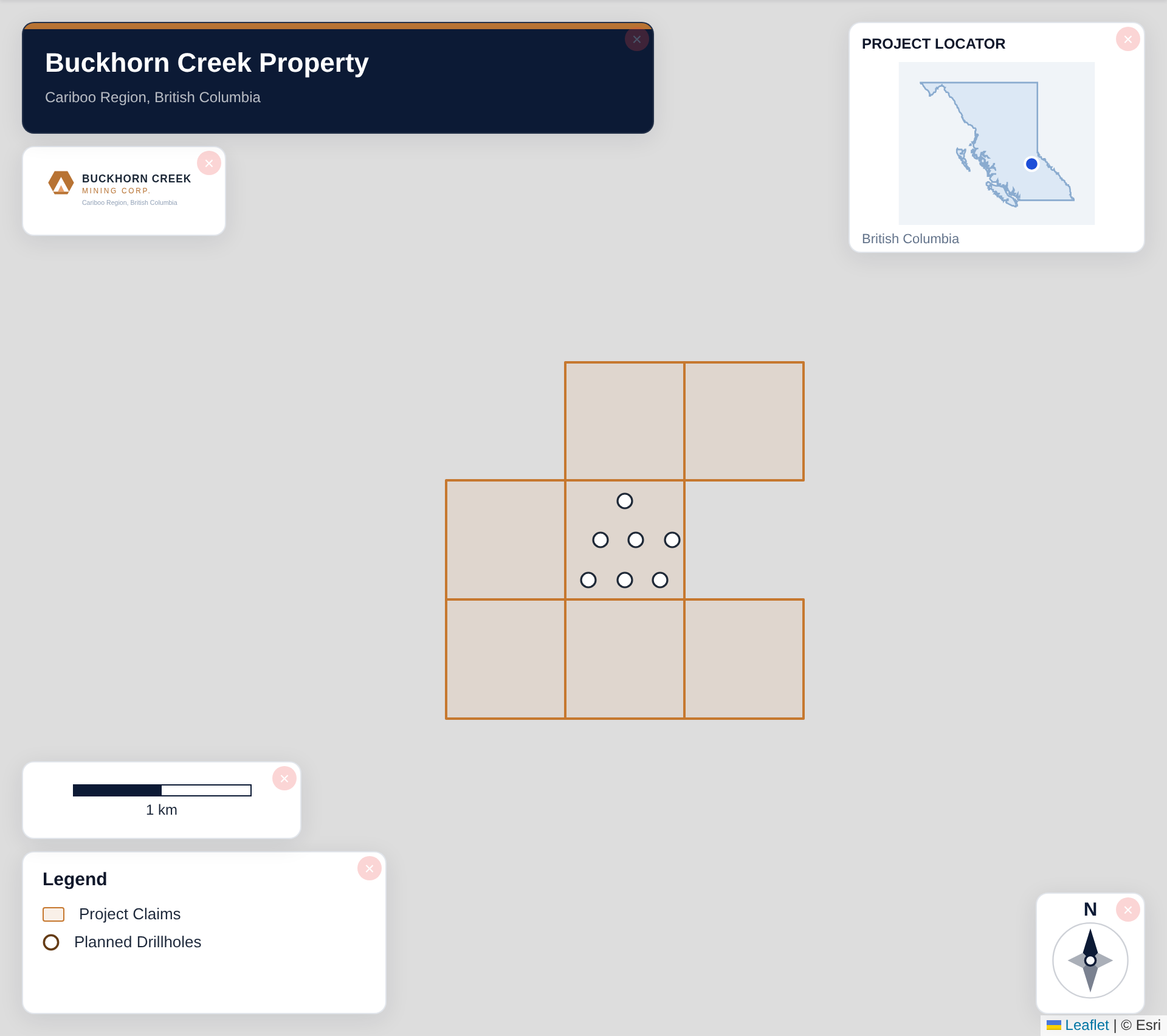
Tip for New Mexico: New Mexico's southwestern copper porphyry properties sit in remote desert mountain terrain — use the Topographic basemap to show the basin-and-range landscape, add major roads (US-180, NM-90) as a context layer, and set a 10 km scale bar to give investors a sense of the property's scale and remoteness.
Recommended Settings for New Mexico
- Basemap: Light or Satellite
- Design theme: Investor — Navy & White or Technical — Sharp Borders
- Export format: PNG at 2× for investor presentations, PDF (Letter or A4) for NI 43-101 reports
- Coordinate system: Ensure source data is in WGS84 (EPSG:4326)
Common Use Cases in New Mexico
- NI 43-101 technical reports
- Investor presentations
- News release figures
- Property acquisition packages
- Regulatory filings