Mining Claims Map — Nova Scotia
Nova Scotia — home to the Meguma Terrane, a gold belt experiencing its biggest exploration revival in decades — is a prime target for junior exploration companies. Here's how to create a professional mining claims map using Exploration Maps in 15–30 minutes.
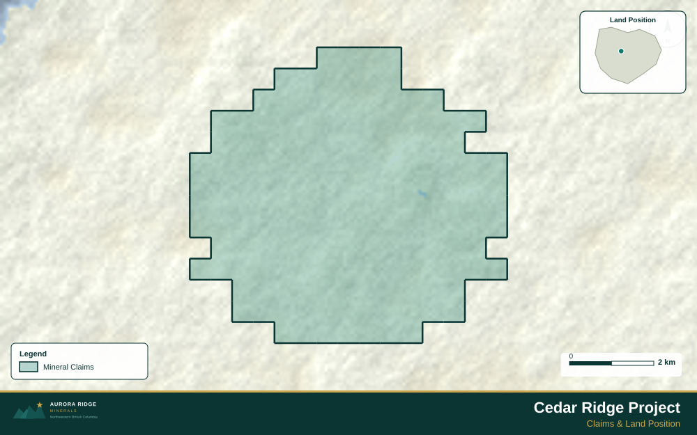
About Mining in Nova Scotia
Nova Scotia's Meguma Terrane is a gold-rich geological belt that has produced millions of ounces of gold and is seeing renewed exploration interest.
Key minerals: gold, gypsum, salt, barite, tin, tungsten. Notable deposits: Moose River, Touquoy, Atlantic Gold, Meguma Gold Belt. Mining districts: Meguma Terrane, Antigonish Highlands.
The Nova Scotia Department of Natural Resources and Renewables administers mineral rights in Nova Scotia. Claim data is accessible through NovaROC.
Getting Mining Data for Nova Scotia
| Portal | Formats | Notes |
|---|---|---|
| NovaROC | Shapefile, CSV, KML | NovaROC is Nova Scotia's online registry of mineral claims. Exports come as NAD83 geographic or UTM Zone 20N (EPSG:32620) — convert to WGS84 before importing. |
How to Create a Mining Claims Map for Nova Scotia
For a full step-by-step guide to mining claims maps, see How to Make a Mining Claims Map.
- Import your claims data as a GeoJSON or CSV file
- Assign the Claims layer role to apply standard styling automatically
- Add roads and water layers for geographic context
- Select a basemap — Light for technical reports, Satellite for investor decks
- Configure the title block with project name, company, and map date
- Upload your company logo
- Set the export ratio and frame your map
- Export as PNG (presentations) or PDF (reports)
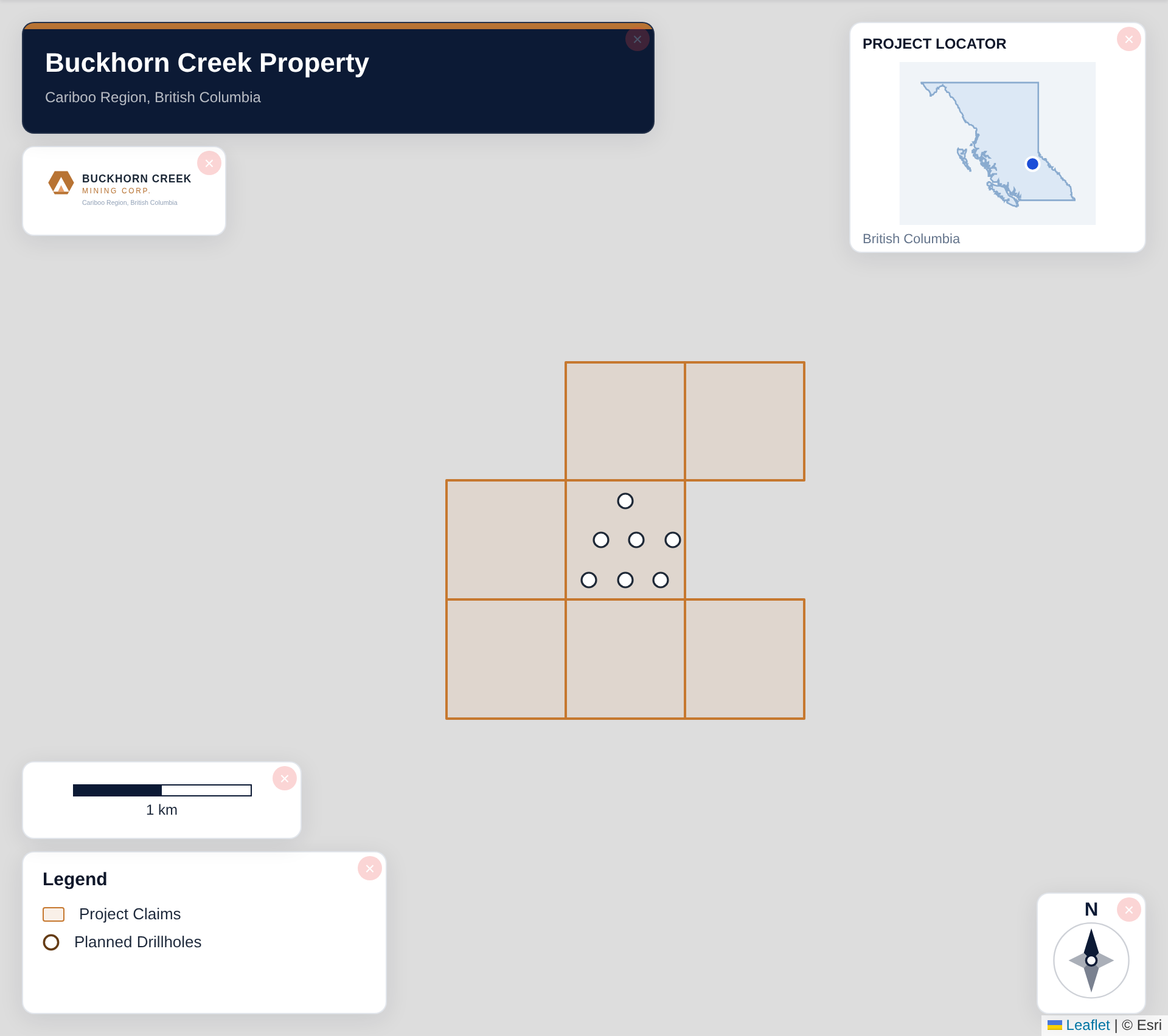
Tip for Nova Scotia: Nova Scotia properties are typically compact and near the coast — a satellite basemap showing ocean proximity and forested terrain helps investors immediately recognize the accessible, infrastructure-friendly setting typical of Meguma Terrane projects.
Recommended Settings for Nova Scotia
- Basemap: Light or Satellite
- Design theme: Investor — Navy & White or Technical — Sharp Borders
- Export format: PNG at 2× for investor presentations, PDF (Letter or A4) for NI 43-101 reports
- Coordinate system: Ensure source data is in WGS84 (EPSG:4326)
Common Use Cases in Nova Scotia
- NI 43-101 technical reports
- Investor presentations
- News release figures
- Property acquisition packages
- Regulatory filings