Mining Claims Map — Northwest Territories
Northwest Territories — home to Canada's diamond industry and the largely underexplored Slave Geological Province — is a prime target for junior exploration companies. Here's how to create a professional mining claims map using Exploration Maps in 15–30 minutes.
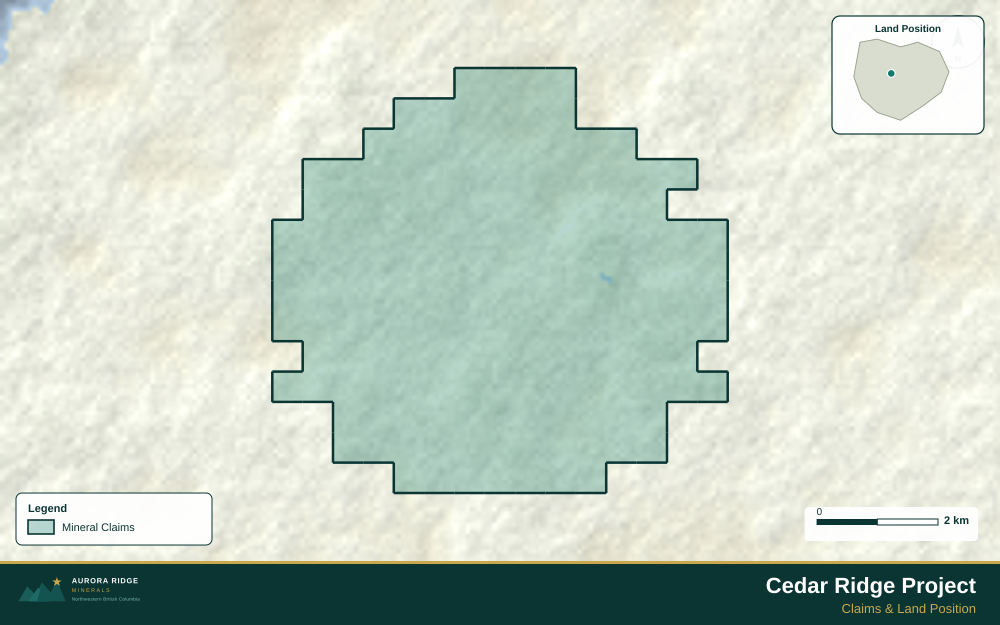
About Mining in Northwest Territories
The Northwest Territories hosts Canada's diamond industry and the historic Yellowknife gold camp, with extensive underexplored terrain across the Slave Geological Province.
Key minerals: diamonds, gold, tungsten, lead, zinc, lithium. Notable deposits: Ekati, Diavik, Giant Mine, Con Mine. Mining districts: Yellowknife, Mackenzie, Slave Geological Province.
The Northwest Territories Department of Industry, Tourism and Investment administers mineral rights in Northwest Territories. Claim data is accessible through NWT Mining Recorder.
Getting Mining Data for Northwest Territories
| Portal | Formats | Notes |
|---|---|---|
| NWT Mining Recorder | Shapefile, PDF | NWT claim data is administered through the Mining Recorder in Yellowknife. Most datasets are provided in NAD83 UTM Zone 11N or 12N depending on location west or east of 102°W — verify the correct zone for your property before converting to WGS84. |
How to Create a Mining Claims Map for Northwest Territories
For a full step-by-step guide to mining claims maps, see How to Make a Mining Claims Map.
- Import your claims data as a GeoJSON or CSV file
- Assign the Claims layer role to apply standard styling automatically
- Add roads and water layers for geographic context
- Select a basemap — Light for technical reports, Satellite for investor decks
- Configure the title block with project name, company, and map date
- Upload your company logo
- Set the export ratio and frame your map
- Export as PNG (presentations) or PDF (reports)
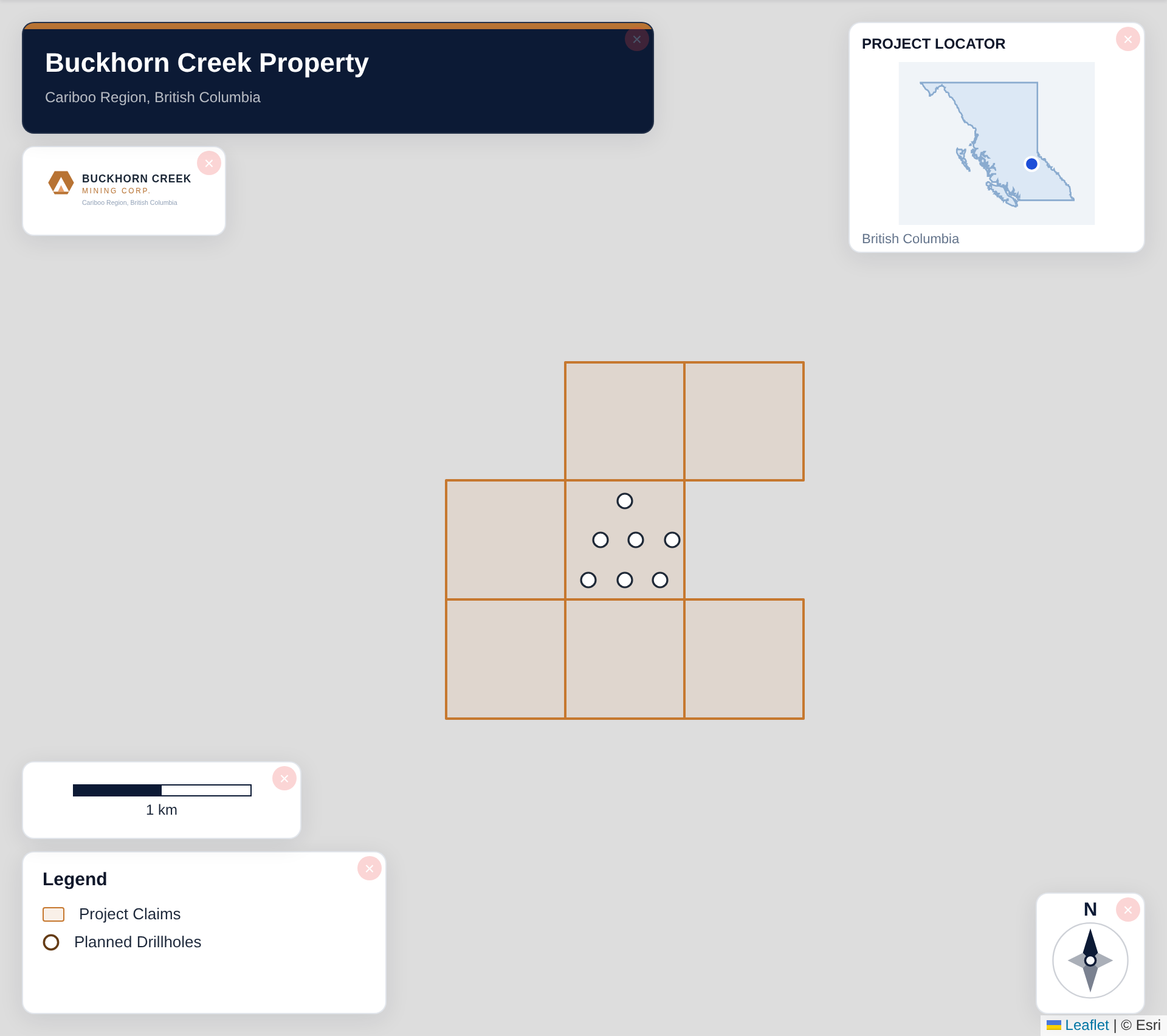
Tip for Northwest Territories: Slave Province properties often cover large areas of Shield terrain — zoom to a scale that shows several named lakes as landmarks, which helps investors orient to maps of remote terrain where towns and roads are absent.
Recommended Settings for Northwest Territories
- Basemap: Light or Satellite
- Design theme: Investor — Navy & White or Technical — Sharp Borders
- Export format: PNG at 2× for investor presentations, PDF (Letter or A4) for NI 43-101 reports
- Coordinate system: Ensure source data is in WGS84 (EPSG:4326)
Common Use Cases in Northwest Territories
- NI 43-101 technical reports
- Investor presentations
- News release figures
- Property acquisition packages
- Regulatory filings