Drill Results Map — Chile
Chile — the world's largest copper producer, holding 27% of global copper output and the largest lithium reserves on Earth — is a prime target for junior exploration companies. Here's how to create a professional drill results map using Exploration Maps in 15–30 minutes.
About Mining in Chile
Chile is the world's largest copper producer, responsible for approximately 27% of global copper output, and holds the largest lithium reserves on Earth in the Atacama Desert salt flats. The country is a top-tier destination for exploration capital targeting critical minerals essential to the energy transition.
Key minerals: copper, lithium, gold, silver, molybdenum, iron. Notable deposits: Escondida, Collahuasi, Chuquicamata, Atacama Lithium Brine. Mining districts: Atacama Desert, Antofagasta Region, Maricunga Belt, Coastal Cordillera.
The Servicio Nacional de Geología y Minería (SERNAGEOMIN) administers mineral rights in Chile. Claim data is accessible through SERNAGEOMIN Mining Cadastre.
Getting Mining Data for Chile
| Portal | Formats | Notes |
|---|---|---|
| SERNAGEOMIN Mining Cadastre | Shapefile, KML | SERNAGEOMIN's Mining Cadastre exports concession polygons in UTM Zone 19S (EPSG:32719) for most of Chile. Chile's extreme north-south geography means some large properties span zones — confirm the UTM zone for your specific property latitude before converting. |
How to Create a Drill Results Map for Chile
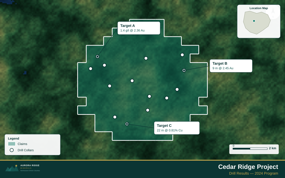
For a full step-by-step guide to drill results maps, see How to Make a Drill Results Map.
- Import your drill collar CSV (columns: hole ID, latitude, longitude, depth, assay)
- Assign the Drillholes layer role
- Import the property claims boundary as GeoJSON
- Add callout labels to key holes showing hole ID and best intercept
- Use Badge Label type to highlight the highest-grade holes
- Configure the title with program name and date
- Set the Landscape 16:9 ratio for news release figures
- Export as PNG at 2× for email and PDF for the news release attachment
Tip for Chile: Chilean porphyry copper and lithium brine properties are frequently at high altitude (3,000–5,000 m) in the Atacama Desert — add an elevation note to your title block and use the Satellite basemap to show the stark, high-altitude desert terrain that immediately communicates the project's physical setting to international investors.
Recommended Settings for Chile
- Basemap: Light or Satellite
- Design theme: Investor — Navy & White
- Export format: PNG at 2× for investor presentations, PDF (Letter or A4) for JORC Code / NI 43-101 reports
- Coordinate system: Ensure source data is in WGS84 (EPSG:4326)
Common Use Cases in Chile
- Exploration news releases
- NI 43-101 technical reports
- Investor day presentations
- Analyst briefings