Exploration Maps vs MapInfo for Mining Maps
MapInfo Pro is an established enterprise GIS platform used at major mining companies and geological surveys, particularly in Canada and Australia. For junior exploration companies that need investor-ready maps quickly without a dedicated GIS professional, Exploration Maps is significantly faster, lower cost, and requires no installation or training.
What MapInfo Is Used For in Mining
MapInfo Pro (now Precisely MapInfo Pro) has a long history in the Canadian and Australian mining industries — it was the dominant GIS platform at major mining companies and geological surveys before ArcGIS gained its current market position. Many exploration databases (including Geoscience BC, Ontario Geological Survey, and Geoscience Australia) distribute data in MapInfo TAB format. As a result, some junior companies inherit MapInfo-based workflows when acquiring projects from majors or accessing government datasets.
Speed and Ease of Use
MapInfo Pro is a full-featured desktop GIS application. Producing a presentation-quality map — with a clean layout, styled title block, legend, north arrow, and scale bar — requires working in the Layout Designer module and typically takes 1–3 hours for an experienced user. For someone new to the software, expect a multi-day learning curve before producing acceptable output. Exploration Maps produces the same output in 15–30 minutes on a first use, with no training required.
Cost Comparison
MapInfo Pro is priced at approximately $1,500–$3,000 USD per year for a standard named-user subscription. This positions it in the same cost tier as ArcGIS Pro. For a junior exploration company producing maps occasionally, this is a difficult cost to justify. Exploration Maps is significantly more accessible for small teams without in-house GIS staff.
When MapInfo Is the Right Choice
MapInfo Pro is the right choice if your team already has licensed users and established workflows, if you regularly receive data in TAB format from government datasets or joint venture partners, or if you need its spatial analysis and data management capabilities for managing large claim tenure databases or geoscience datasets. For these workflows, MapInfo remains a capable and well-supported platform.
When Exploration Maps Is the Right Choice
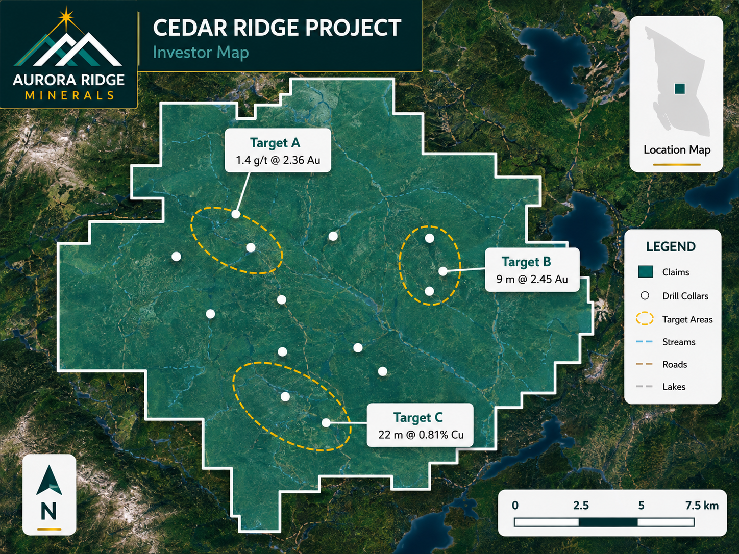
Exploration Maps is the right choice for investor presentations, NI 43-101 map figures, news release maps, and property overview maps — situations where speed, presentation quality, and accessibility matter more than full GIS capability. It is particularly well-suited to junior companies without a GIS professional on staff who need polished maps on a regular basis without the overhead of maintaining an enterprise GIS licence.
Side-by-Side Comparison
| Feature | Exploration Maps | MapInfo Pro |
|---|---|---|
| Annual cost | Low | ~$1,500–$3,000 USD |
| Learning curve | Minutes | Days to weeks |
| Time to polished map | 15–30 min | 1–3 hours |
| Installation required | No (browser-based) | Yes (Windows desktop) |
| Investor-ready themes | Built-in (5 themes) | Manual layout required |
| TAB file support | No (GeoJSON/CSV) | Native format |
| NI 43-101 export | PNG, SVG, PDF | PDF, various |
| Spatial analysis | Basic | Full-featured |
| No GIS training needed | Yes | No |