Stuhini Exploration Ltd. (TSXV: STU) — Mineral Claims Map
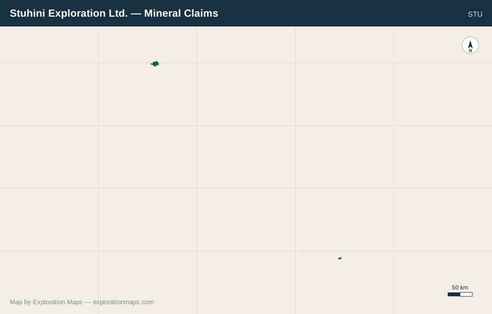
Stuhini Exploration Ltd. holds 64 mineral claims totalling 34,828 ha in British Columbia. Data from BC Mineral Titles Online public records.
Claims updated 2026-09-01
Choose the investor layout, export a PNG, or save an editable copy to your account. On mobile, preview the map first and save on this device before continuing on desktop. About Exploration Maps · Privacy
64Mineral claims
34,828Total hectares
BCProvince
2027-01-02Earliest good-to date
Is this your company?Save an editable copy to your free account. Customize the map and download a PNG with credit; Pro removes the credit.
Save an editable copy
Claim list
| Claim ID | Name | Area (ha) | Good-to date | Province |
|---|---|---|---|---|
| 408341 | LAKE VIEW 1 | 450 | 2027-11-17 | BC |
| 408342 | LAKE VIEW 2 | 450 | 2027-11-17 | BC |
| 503346 | KILO | 81.7 | 2027-11-17 | BC |
| 510311 | — | 245 | 2027-11-17 | BC |
| 510319 | — | 1,405 | 2027-11-17 | BC |
| 510320 | — | 458.2 | 2027-11-17 | BC |
| 510382 | — | 376.1 | 2027-11-17 | BC |
| 519616 | — | 408.2 | 2027-11-17 | BC |
| 519782 | — | 16.3 | 2027-11-17 | BC |
| 523437 | BASALT 1 | 228.8 | 2027-11-17 | BC |
| 531946 | BIRCH 1 | 147.2 | 2027-11-17 | BC |
| 532097 | BIRCH 2 | 408.8 | 2027-11-17 | BC |
| 532099 | BIRCH 4 | 163.6 | 2027-11-17 | BC |
| 532102 | BIRCH 4 | 343.2 | 2027-11-17 | BC |
| 555153 | — | 2,466 | 2027-03-27 | BC |
| 563549 | RUBY 2 | 343.2 | 2027-11-17 | BC |
| 563550 | RUBY | 65.4 | 2027-11-17 | BC |
| 563552 | RUBY 4 | 343.2 | 2027-11-17 | BC |
| 563553 | RUBY 5 | 65.4 | 2027-11-17 | BC |
| 563556 | — | 16.3 | 2027-11-17 | BC |
| 563557 | RUBY CENTER | 147.1 | 2027-11-17 | BC |
| 563558 | RUBY 6 | 98.1 | 2027-11-17 | BC |
| 563618 | RUBY CREEK SL | 392.7 | 2027-11-17 | BC |
| 563619 | RUBY CREEK SL1 | 179.9 | 2027-11-17 | BC |
| 1038947 | TALUS GOLD | 65.5 | 2027-11-17 | BC |
| 1040225 | MORE RUFF | 146.9 | 2027-11-17 | BC |
| 1042387 | — | 556.1 | 2027-11-17 | BC |
| 1042388 | — | 408.7 | 2027-11-17 | BC |
| 1042389 | — | 179.7 | 2027-11-17 | BC |
| 1042895 | — | 1,436 | 2028-05-18 | BC |
| 1044110 | — | 49.1 | 2027-11-17 | BC |
| 1044677 | — | 522.4 | 2027-11-17 | BC |
| 1044893 | — | 571 | 2027-11-17 | BC |
| 1046613 | YELLOWJACKET | 376.7 | 2027-11-17 | BC |
| 1046634 | YELLOWJACKET | 311.1 | 2027-11-17 | BC |
| 1046635 | YELLOWJACKET | 344.1 | 2027-11-17 | BC |
| 1046794 | SURPRISE | 180.1 | 2027-11-17 | BC |
| 1047224 | — | 473.5 | 2027-11-17 | BC |
| 1047225 | — | 244.8 | 2027-11-17 | BC |
| 1047834 | — | 685 | 2027-11-17 | BC |
| 1047835 | — | 572 | 2027-11-17 | BC |
| 1048331 | — | 587.5 | 2027-11-17 | BC |
| 1048637 | — | 720.3 | 2027-11-17 | BC |
| 1048718 | — | 1,633 | 2027-11-17 | BC |
| 1048719 | — | 555.1 | 2027-11-17 | BC |
| 1048720 | — | 244.7 | 2027-11-17 | BC |
| 1049324 | — | 489.2 | 2027-11-17 | BC |
| 1049359 | — | 32.7 | 2027-11-17 | BC |
| 1049753 | — | 65.3 | 2027-11-17 | BC |
| 1049811 | — | 130.6 | 2027-11-17 | BC |
| 1049812 | — | 1,290 | 2027-11-17 | BC |
| 1050721 | — | 5,311 | 2027-11-17 | BC |
| 1050983 | — | 768.2 | 2027-11-17 | BC |
| 1051047 | — | 16.4 | 2027-11-17 | BC |
| 1055714 | LEDGE | 41.1 | 2027-01-02 | BC |
| 1055715 | LEDGE | 41.1 | 2027-01-02 | BC |
| 1056154 | LEDGE | 863.4 | 2027-01-02 | BC |
| 1056167 | — | 863.9 | 2027-01-02 | BC |
| 1056193 | LEDGE | 205.7 | 2027-01-02 | BC |
| 1056195 | LEDGE | 41.1 | 2027-01-02 | BC |
| 1056801 | LEDGE | 1,620 | 2027-01-02 | BC |
| 1056802 | LEDGE | 1,417 | 2027-01-02 | BC |
| 1078286 | CUPORPHYRY | 619.4 | 2027-11-17 | BC |
| 1102244 | VOLCANIC MOLY | 848.1 | 2028-05-18 | BC |
Neighbouring claim holders
Pacific Empire Minerals Corp.TSXV: PEMC · ~67 km away
Pacific Ridge Exploration Ltd.TSXV: PEX · ~81 km away
Finlay Minerals Ltd.TSXV: FYL · ~89 km away
Trailbreaker Resources Ltd.TSXV: TBK · ~97 km away
Sourced from BC Mineral Titles Online public records on 2026-09-01. Exploration Maps is a mapping tool, not the official registry — claim status changes daily. Always verify current ownership, status, and boundaries with the registry.
Report an error.